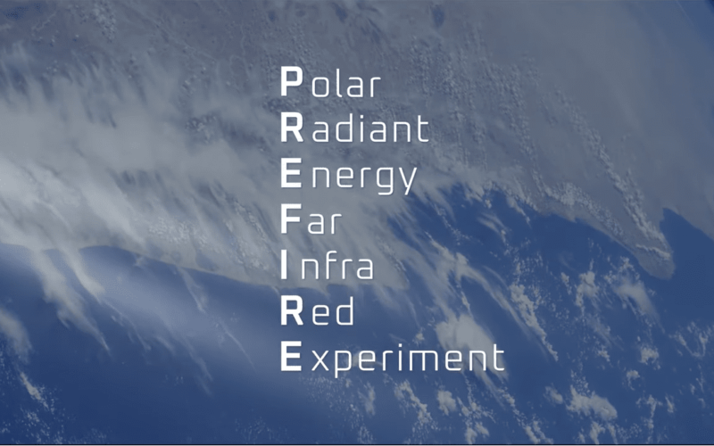
NASA’s latest climate mission has begun gathering data on the heat emitted as far-infrared radiation from the Arctic and Antarctic environments. This data, collected by the Polar Radiant Energy in the Far-Infrared Experiment (PREFIRE), is crucial for improving predictions about how climate change will impact Earth’s ice, oceans, and weather—vital information for helping humanity prepare for a changing world.
One of PREFIRE’s two CubeSats, small shoebox-sized satellites, was launched on May 25 from New Zealand, with the second following on June 5. The first CubeSat started transmitting scientific data on July 1, and the second began collecting data on July 25. The mission will release the data after resolving an issue with the GPS system on the second CubeSat.
The PREFIRE mission will enable researchers to better understand when and where the Arctic and Antarctic emit far-infrared radiation (with wavelengths greater than 15 micrometers) into space. This includes examining how atmospheric water vapor and clouds affect the amount of heat escaping Earth. Clouds and water vapor can trap far-infrared radiation near the Earth’s surface, contributing to global warming through the greenhouse effect—a process where gases like carbon dioxide, methane, and water vapor act as insulators, preventing heat from escaping into space.
“We are constantly looking for new ways to observe the planet and fill in critical gaps in our knowledge. With CubeSats like PREFIRE, we are doing both. The mission, part of our competitively-selected Earth Venture program, is a great example of the innovative science we can achieve through collaboration with university and industry partners,” said Karen St. Germain, director of the Earth Science Division at NASA Headquarters in Washington.
The Earth absorbs most of the Sun’s energy in the tropics, with weather and ocean currents transporting that heat toward the Arctic and Antarctic, where sunlight is much scarcer. The polar regions—comprising ice, snow, and clouds—emit much of this heat into space, primarily as far-infrared radiation. However, these emissions have not been systematically measured before, which is why PREFIRE’s data is so valuable.
“It’s so exciting to see the data coming in. With the addition of the far-infrared measurements from PREFIRE, we’re seeing for the first time the full energy spectrum that Earth radiates into space, which is critical to understanding climate change,” said Tristan L’Ecuyer, PREFIRE’s principal investigator and a climate scientist at the University of Wisconsin, Madison.
A visualisation of PREFIRE data shows brightness temperatures, or the intensity of radiation emitted from Earth at various wavelengths, including the far-infrared. Yellow and red indicate more intense emissions from Earth’s surface, while blue and green represent lower emission intensities, corresponding to colder areas on the surface or in the atmosphere.
The visualisation begins with mid-infrared emissions data (wavelengths between 4 to 15 micrometers) captured in early July during several polar orbits by the first CubeSat. It then zooms in on two passes over Greenland, showing how far-infrared emissions vary through the atmosphere. The visualisation concludes by focusing on an area where the two passes intersect, illustrating how far-infrared emission intensity changed over the nine hours between the two orbits.
The two PREFIRE CubeSats are in asynchronous, near-polar orbits, meaning they pass over the same Arctic and Antarctic regions within hours of each other, collecting similar data. This provides researchers with a time series of measurements, allowing them to study short-lived phenomena like ice sheet melting or cloud formation and their impact on far-infrared emissions over time.


