


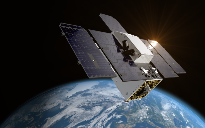
NASA’s Jet Propulsion Laboratory (JPL) has developed a cutting-edge imaging spectrometer, now aboard the Tanager-1 satellite, to deliver critical data for reducing global warming emissions. Tanager-1, the first satellite of the Carbon Mapper Coalition, lifted off aboard a SpaceX Falcon 9 rocket from Vandenberg Space Force Base, California. Ground controllers established communication with the satellite the same day.
Equipped with NASA’s advanced greenhouse-gas-tracking technology, Tanager-1 will measure methane and carbon dioxide emissions to individual facilities and equipment globally, using image spectrometer technology. This mission is part of a philanthropically funded public-private coalition led by the nonprofit Carbon Mapper, with contributions from Planet Labs PBC and JPL. A second satellite in the Tanager series, also equipped with JPL’s imaging spectrometer, is planned for future launch.
“The imaging spectrometer technology aboard Tanager-1 is the product of four decades of development at NASA JPL and truly in a class of its own. The data that this public-private partnership provides on sources of greenhouse gas emissions will be precise and global, making it beneficial to everyone,” said JPL Director Laurie Leshin.
Tanager-1 will scan approximately 50,000 square miles (130,000 square kilometres) of Earth’s surface daily. Scientists at Carbon Mapper will analyse the data to identify gas plumes with the unique spectral signatures of methane and carbon dioxide — and pinpoint their sources. This data will be publicly accessible through the Carbon Mapper data portal.
Methane and carbon dioxide are major contributors to climate change, with human activities such as fossil fuel extraction, agriculture, and waste management accounting for a significant portion of these emissions.
Carbon Mapper CEO Riley Duren emphasised the coalition’s goal and said, “The Carbon Mapper Coalition is a prime example of how organisations from different sectors are uniting around a common goal of addressing climate change. By detecting, pinpointing, and quantifying super-emitters and making this data accessible to decision-makers, we can drive significant action around the world to cut emissions now.”
The imaging spectrometer aboard the satellite measures hundreds of wavelengths of light reflected by Earth’s surface. Different compounds in the planet’s atmosphere — including methane and carbon dioxide — absorb different wavelengths of light, leaving spectral “fingerprints” that the imaging spectrometer can identify. These infrared fingerprints can enable researchers to pinpoint and quantify strong greenhouse gas emissions, potentially accelerating mitigation efforts.
Tanager-1’s launch is part of a broader initiative to provide accessible and actionable greenhouse gas data, which includes NASA’s EMIT (Earth Surface Mineral Dust Source Investigation) mission, an imaging spectrometer on the International Space Station developed by JPL.